The Bullshole is an area in Cholsey that is situated between the Main Great Western rail line and the old single track railway to Wallingford. It was a place where countless children spent their childhood paddling and looking for sticklebacks in the stream that ran through it. Many happy summers were spent there buy myself and others like me. Now it is a shadow of it's former self. I have visited it many times over the years but I feel I should write a blog on my memories of it.
This is Sandy Lane in Cholsey, the estate was built back in the 1960's on a field that used to grow crops. The Lane is named after the footpath that went across the field coming out on West End a road that ran around the outside which gave access to a houses along there.
On the other side of the path you saw a footpath that continued on it has changed little over the years. In my younger days this was more a muddy track in the winter with dogs mess to dodge. Now it is a little better though you still get the odd mess that dogs leave and people who thing it is beneath then cannot be bothered picking up

The two photos show the path the one on the left is by a drainage ditch the right is looking back to the entrance from that spot. The drainage ditch was always full of water and reeds when I was a kid. The sides were slippery and if you were not careful you would end up the the ditch. Years ago the repaired the sides using concrete filled sacks which you can still see but over the years the ditch has filled with silt and leaves which filled it up and now there is hardly ever any water in it.
At the end of the path you turn left
You will find the brook running by the path. Looking right which is downstream you can see a muddy section to the left that is where the stream that came form the bullshole joined. Looking left you can see a culvert in the distance.
The culvert is under the tunnel that runs under the old bunk line (local name for the railway) to Wallingford to the right you can see a wooden footbridge. This is something which was built in the in recent times because when I was a kid it did not exist, the only way to get to the island as we called it was to scramble yo the embankment wall and jump the fence at the bottom. It was an overgrown area of shrubs and stinging nettles.

Now you just walk across the bridge and look down at the brook, The sides were concreted back in the 1960's and form a channel that the brook runs though, before the bridge was built we just jumped over the channel
Looking downstream you can see the bank has been eroded away more by kids working their way along, it never was like that when it was first repaired.
Walk on a little further through the woods and you come to another footbridge
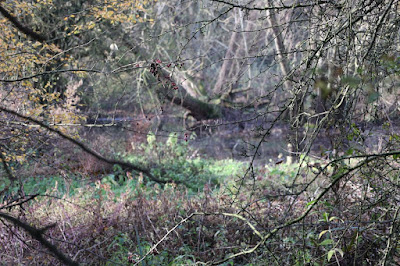
This crosses the dried up stream bed that comes out of another culvert that is under the Bunk Line. The stream bed is overgrown with weeds saplings and debris from fallen leaves and branches. On the other side of the bridge is Millennium Woods that is at the South end of Jubilee Meadow. When I as a kit the woods were not there and the meadow was full of cattle grazing.
November saw water running through the stream bed again
Walk under the bridge and you come to railings that stop you walking in to the brook. You can go either way, the right will take yo on a footpath that goes past the Bullshole and onto St Mary's Church
Left will take you beside the brook and to a long tunnel under the Main Railway
Looking down at the brook the only thing that has changed is it has become overgrown. The little cut to the right is an old concrete slipway that was built for cattle to go don to the brook and brink. It has become very overgrown and covered in soil. As a kid I remember it just been a trampled down back where the cattle walked down to drink in the brook.
Before we go in the Bullshole I will take you on the left hand footpath to show what you can see. The first think you notice is the wooded area on the left. This used to be just a grass triangle between the Main and Bunk lines, over the years it has become over grown and the footpath widened. It was quite muddy back in my time and a haven for wildlife where you could see lizards and grass snakes
At the end you come to the long tunnel under the main railway. By the tunnel to the right you might see it is overgrown and notice an old gate. This used to allow them to herd the cattle out of and through the long tunnel to fields on the other side. The tunnel floor is uneven and is formed from years a build up of mud an cattle dung that had dried. IT my time you had to dodge the cow pates in the mud. The cows hooves are the reason the floor is so uneven after all these years
This is where you come out at another barrier and again you can go one of two ways.
Go left and you will cross this field to a bridge that goes over the brook and on across another field where you come to a track. You can go across the track and on to Lollingdon or turn left and head back to the village via West end
Go right and you will follow a footpath that takes you to the Lees and if you want to St Marys Church and the village or onto Aston Tirrold.
I remember cattle in both these fields in the past now they grow crops in the on her on the right.
I remember cattle in both these fields in the past now they grow crops in the on her on the right.
Going back to the junction to the Bullshole and take the right path where you come out here. In the past there was a kissing gate you went through but now it has gone
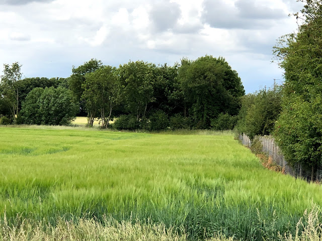
The meadow beyond is now over grown with grass the trees you see in the near distance were not there when I was young maybe the odd small shrub but all this was short cropped grass and if you were lucky the cows were on the other side of the field
The footpath will cross this bridge that need some repair on the other side you will now find a fence and gate to go through before taking the footpath to the church
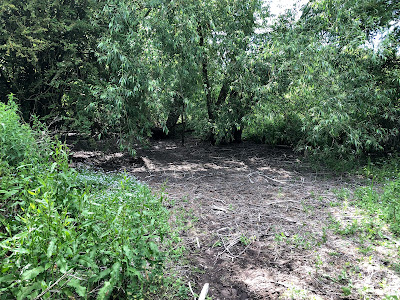
Over to the left you can find an opening where you can access the Bullshole pool. as you can see it is full of debris and has no water willows grow on one side
The bed was muddy but you could walk along it where you could see old dead leaves and branches from the willow. As a child this was always full or water which was quiet deep at lead for a kid it was coming over your wellies or up to you knees. I wondered why it got like this
Part of the reason is this, the exit form the culvert is blocked with debris and stones that come off the rail embankment partly through erosion and part through kids scrambling up. I wonder that Network rail have not fenced it off to stop trespass like other places.
I looked back up the pool and went back home wondering if I would ever see the stream flow back through here again.
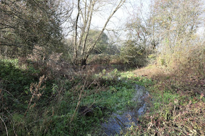
In November I happen to be walking past and noticed the was water in the pond
The rain we had in the last few weeks had filled the bullshole and it was flowing again for a while
The Map below shows where I have taken you and I have marked the footpaths in charcoal. the red lines show the culverts under the railway North is at the top in the two maps I show
This second map is from the Ordnance Survey maps of the area in question. The Church can just be seen in the top Right had corner
In 1968 this photo of a train on the bunk clearly shows the whole are clear of vegetation
The Bulls hole taken from the bridge around the 1990's before it really became overgrow you can see trees that have grown up over the years
Thanks for reading


No comments:
Post a Comment