Tuesday, 11 March 2014

Calleva Atrebatum


Now that should get you thinking with a name like that. Calleva Atrebatum also called Silchester it  is a Roman Town not far from Reading. The site was founded by the Atrebates tribe in the first century BC and the walls enclosed area of about 79 acres. After the Roman conquest of Britain in 43AD it was settled and enlarged to 99 acres which is where name Calleva Atrebatum came in.
After the Romans left the Saxons avoided the place making there main towns Winchester & Dorchester so Silchester became deserted and left to neglect for a couple of millennia.
Excavations have taken place since the 1890's and Reading University have become involved since 1970. I have visited the place before with my children when they were young but my wife & I decided to visit the place again and get a few photos.

 These three pillars are in the main carpark and were not here the last time I visited


 Check the map  of the place out first and get an idea of the layout


The walls are on the right here and you can walk all the way round


Lots of wild snowdrops are growing here


This is another of the information boards scattered around the site


This is looking across where the town was towards the South Gate


 We went left along the top of the walls


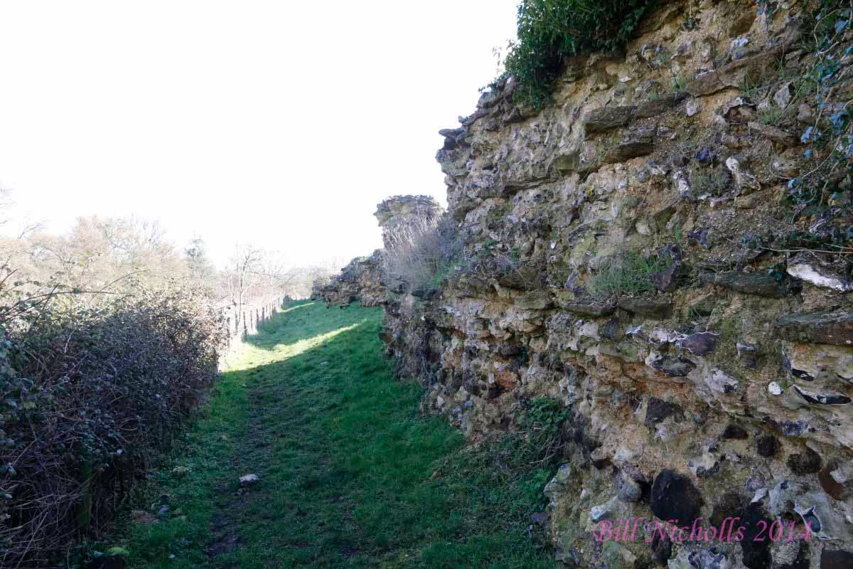
Where you can see some parts of it still in good condition


Apart from the odd tree growing on it


This is the North Gate, if you had taken this in Roman times you would have gone North to Dorchester on Thames passing through the village I live in


Some information on the gate


This is the west side of the gate


The wall on the east side 


A cross section though the gate showing the way the wall and gate was built
 The wall a bit further round looking towards the East Gate


You can walk along the base here 


Back on top, you can see a lump of ivy growing which is part of the problem causing the deterioration of the walls
The Romans certainly knew how to build a straight wall


Looking back to the North Gate where you can see it curves


Looking to the East Gate


The wall which I think is in great condition considering the age


Another section of wall 


The wall further on with what looks like one of the watch towers 


Near the East Gate is St Mary The Virgins a church just inside the walls, there is also a car park here as well


Not far away you can find the Amphitheatre with an information board to read


This place I found really interesting, mid you you could fit it inside the one at Pompeii easily


This is the arena were it all went on
 But I think the two stitch photos give a better idea as to what it looks like
The two people were walking round the arena at the time and give an idea as to the size.


There is a track leading through the centre which passed the centre of the town


Where you can stop off and read about it


And look over at the excavation going on


with another information board


The dig was full of water so it will need pumping out before any more work can be done there.


We did the walls in two parts and after having a picnic walked round to the South gate part way along the base of the walls


which were overgrown in many places


Till you come to near the gate where it is clear


And a couple more information boards are in evidence, one on the local tribes


and one about the South Gate


Which when you see it is a lot bigger than the remains of the North Gate


Looking across the gate to the East Gate
Some of the wall further along from the South Gate


More of the wall which seem bigger on this side


From the walls here you can see Silcheter Church


A Little further along is a brake in the wall where you can walk on either side


From here we walked to the Church where we walked back
St Mary the Virgin from the wall. My wife & I spend a few hours walking round the place I hope you found what we saw interesting.

Saturday, 22 February 2014

Castles & Forts


The UK is scattered with the remains old castles and forts, just look at an Ordnance Survey map and you will see them marked up.  Many when you see them are just  pile of earth others are recognizable. In this blog I will show some of the ones that I visited.

 I will start with a hill fort which is not far from where I live, Wittenham Clumps, this is an Iron Age hill fort and if you walk round it you can see the surrounding ditch that was part of the defense. The hill is called Castle Hill now but dominated the surrounding area.
Not far away is another fort like this only without the ditch.


This is called Blewburton Hill and on the OS map it is marked Fort, it also has terracing.


Nearby in a village called South Moreton you can find a mound behind the church which looks like an old Motte & Bailey


 Not so far away you can see what was probably a siege castle though you can see the remains better when you pass by on the train


The castle was most likely  used for siege of Wallingford Castle which is the next one I will show

 It was built sometime after 1086. It was used regularly by Royalty untill the town was hit buy the black death when it declined  and some of the castle was demolished for the stone to be used on Winsor Castle. After the Royalists held out for 65 days in the civil war Cromwell ordered  it destroyed
There is not much let to see of the old castle though some walls do remain


Some of the stone was used on the tower of St Mary-Le-More 
in the town.
Walking over castle meadows you can see the dips and mounds from where the walls and moats were.


Looking round the site shows the place was large indeed.
All these castles and forts you have just seen are within about 5 miles of where I live.


The next few I will show are in Wales, the first is  Tretower Castle


Which also has a small museum that you have to pay to get in, not sure it  was open when I visited  but from the photos I have seen it is worth a visit if your passing.


A little way  over the Welsh boarder along the A44 you come to New Radnor where you can see a castle mound above the trees.


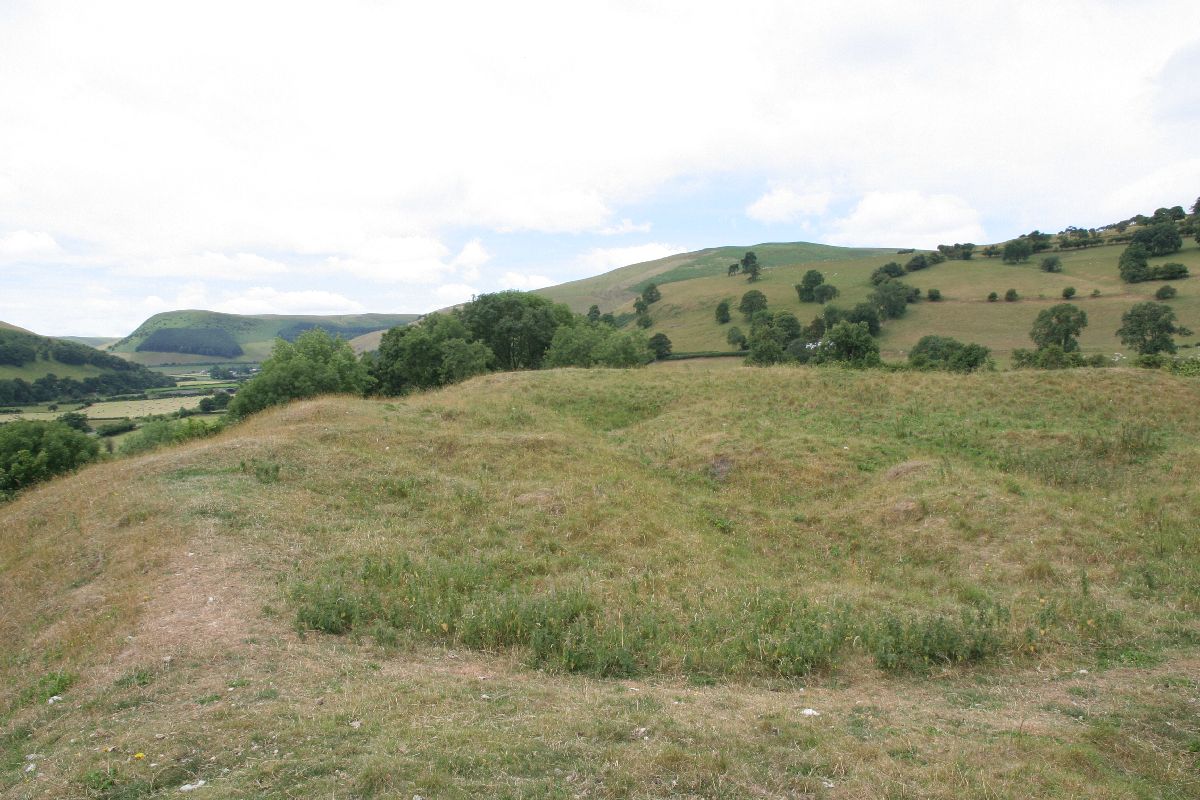
Nice view from the top


The ditch between the mounds


Along the A44 after New Rador you can see Tomen Castle  


And further along Castell Crugerydd


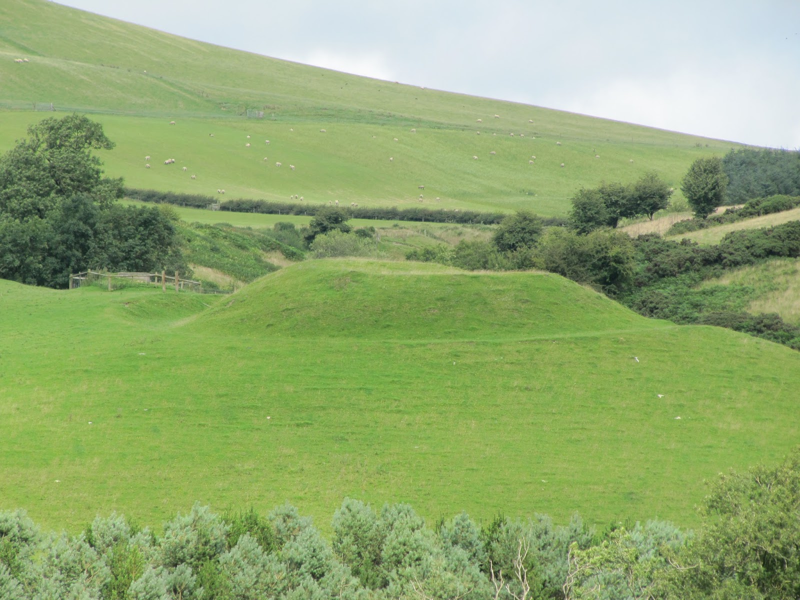
If you turn left towards Builth Wells after Tomen Castle you will come to Hundred House and you can see this mound that looks like it may have been a fort at some time.


A  short distance away is Colwyn castle


Its owned by Fforest Farm so ask if you want to look round the site


You can make out the out like of the old Norman castle and you can see a moat.


I you visit the Fforest field campsite down the road you can see a Motte & Bailey


Nearer Builth Wells you visit Aberedw castle


A lot of the ruined walls are there and you can see a lot of the outline
though a lot of one side was robbed when the old railway was run past the place


Finally on this blog we come to Builth Castle which would have dominated  the river crossing of the Wye nearby


 Only mounds and ditches can be seen now


Though you do get a good view from the top.


Those are a few of the Castles I have visited on my travels round the UK there are many more you can see some that are in better condition and others little more that what I have shown. Next time you go for a walk look at the Ordnance Survey map of the area and see if you can find any castles to visit